Geographic Information Systems (GIS)
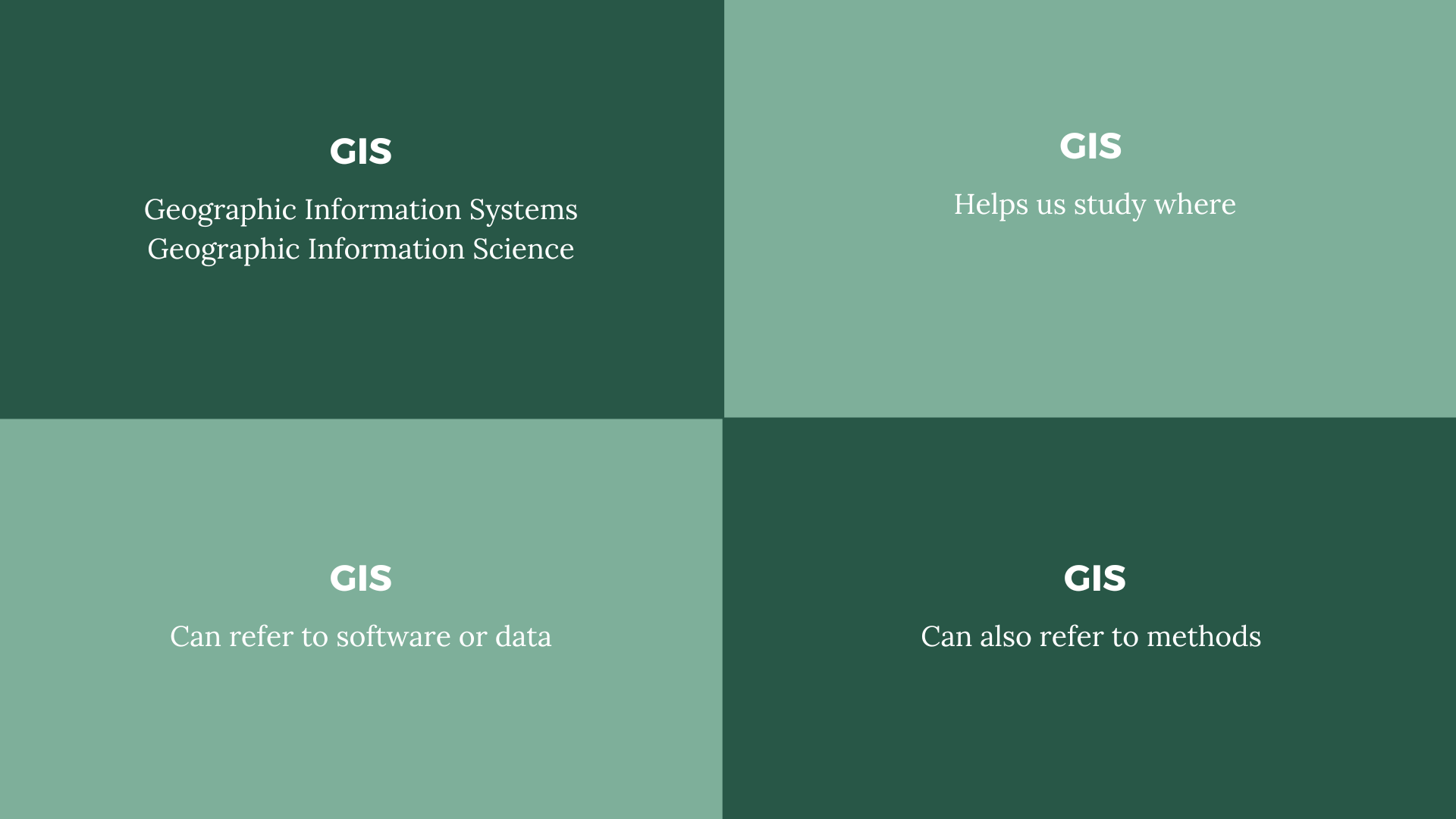 GIS definitions.
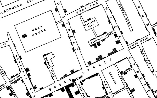
John Snow cholera map, 1854.
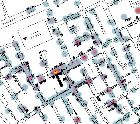
John Snow cholera map, overlaid by a modern-day GIS heatmap layer.
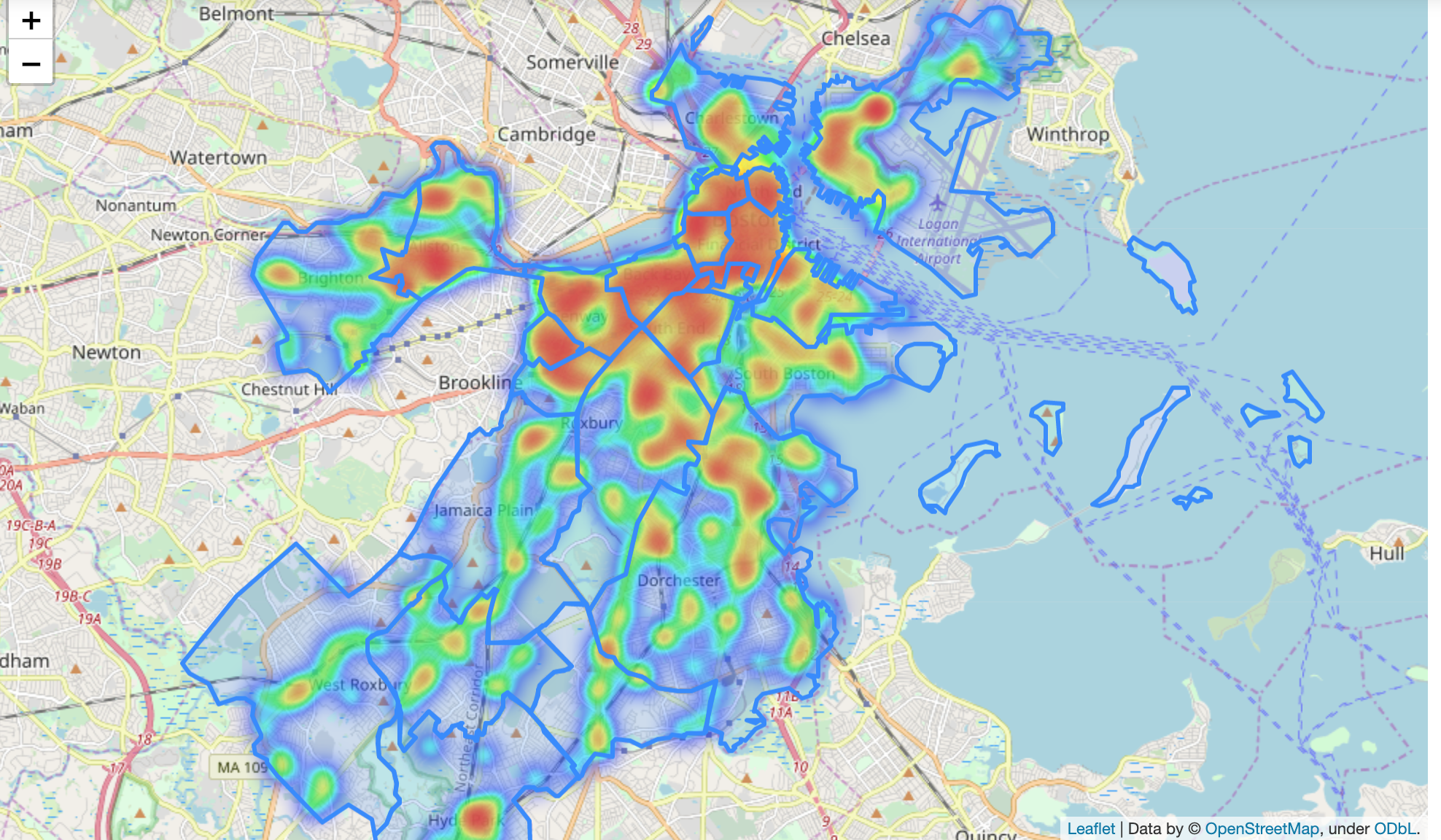 GIS heatmap of density of restaurants in Boston.
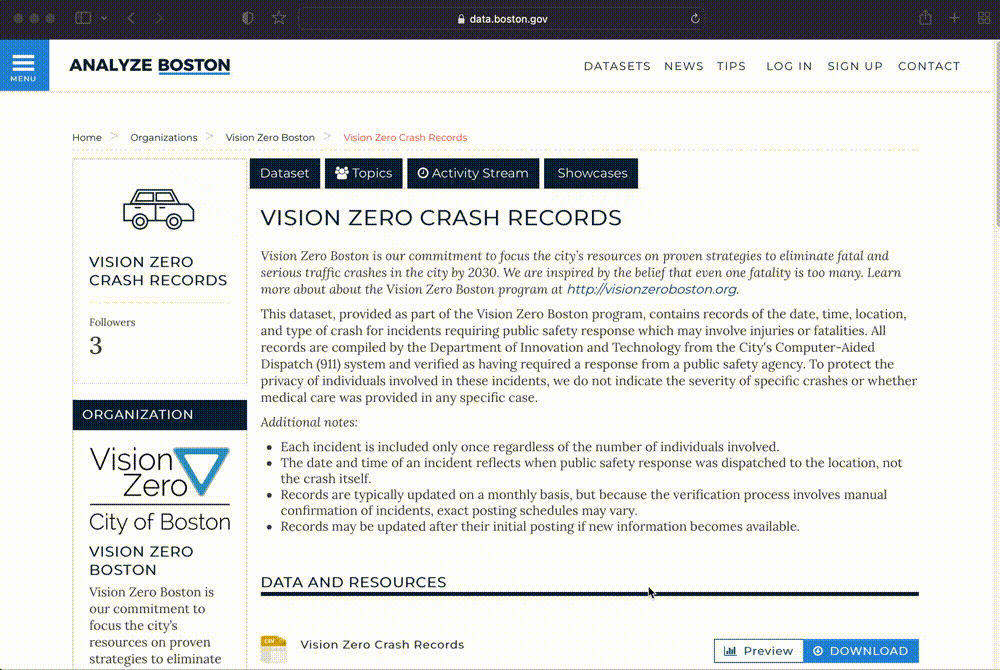 Analyze Boston, Boston’s open data portal.
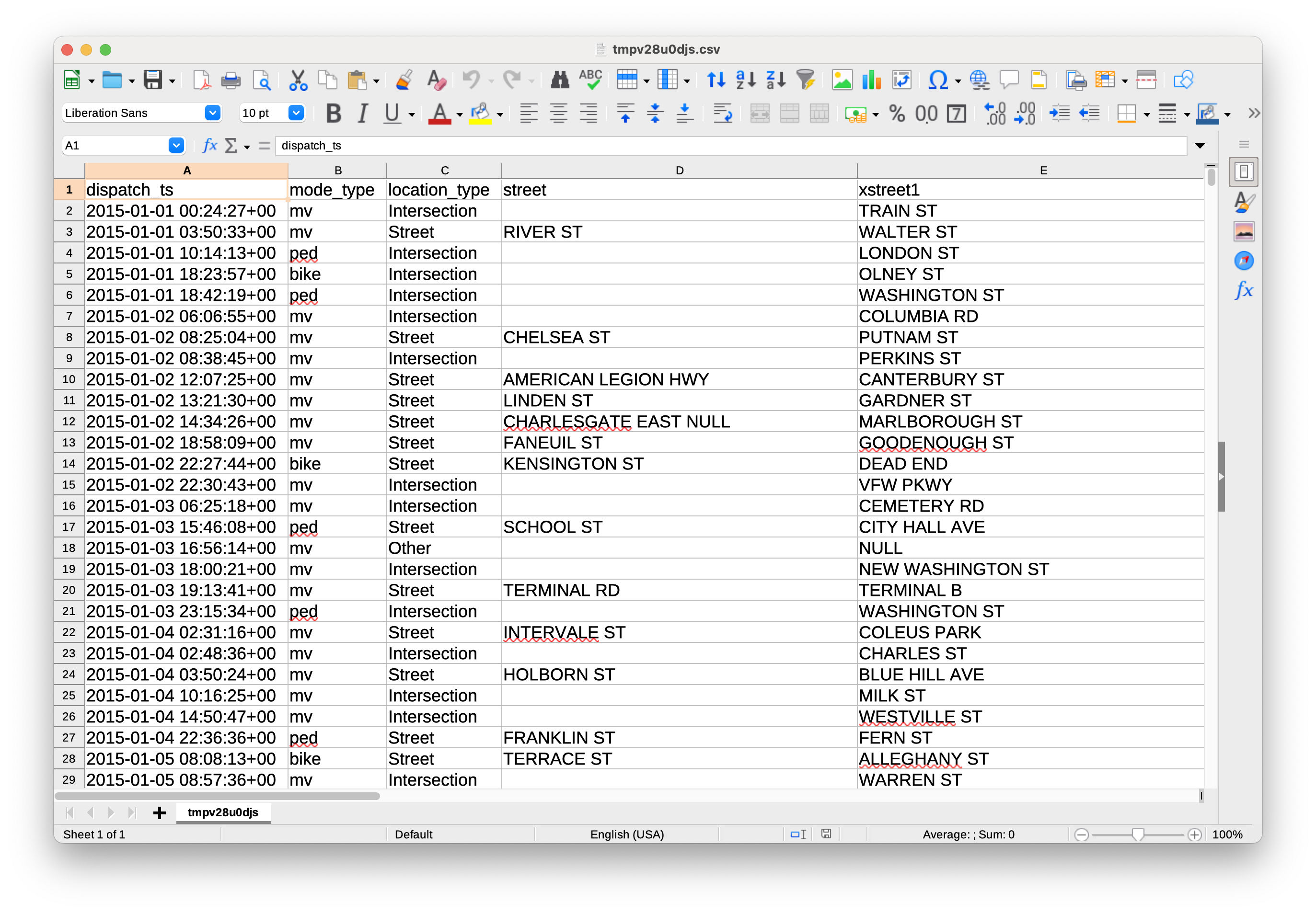 Vision Zero dataset, open as a table.
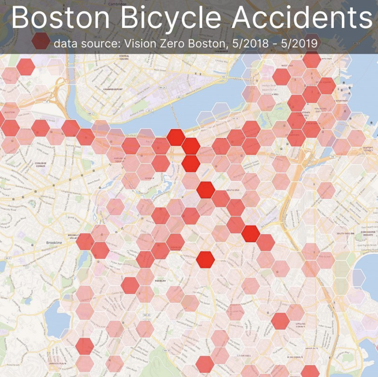
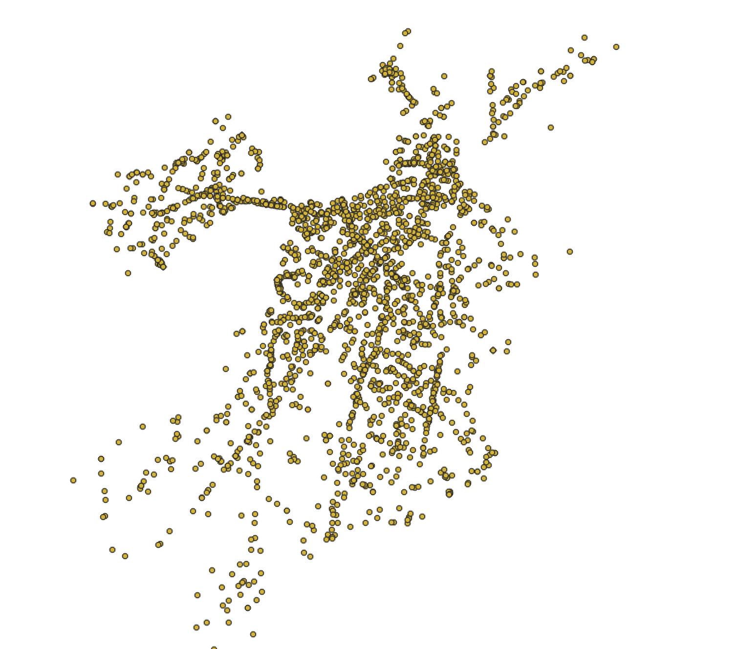 Bike crash data displayed visually as individual points in GIS software.
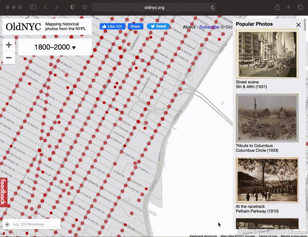 OldNYC: Mapping Historic Photographs at the NYPL.
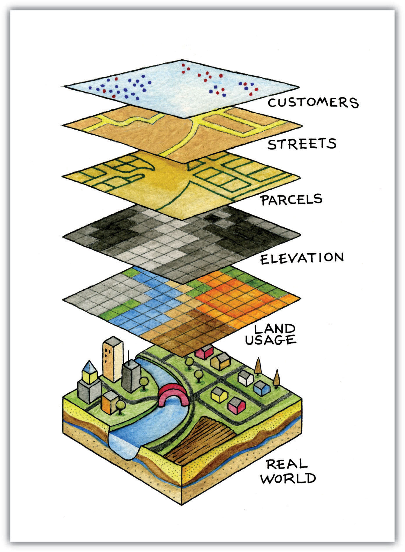
GIS data layers diagram.
 Belle’s house in college.
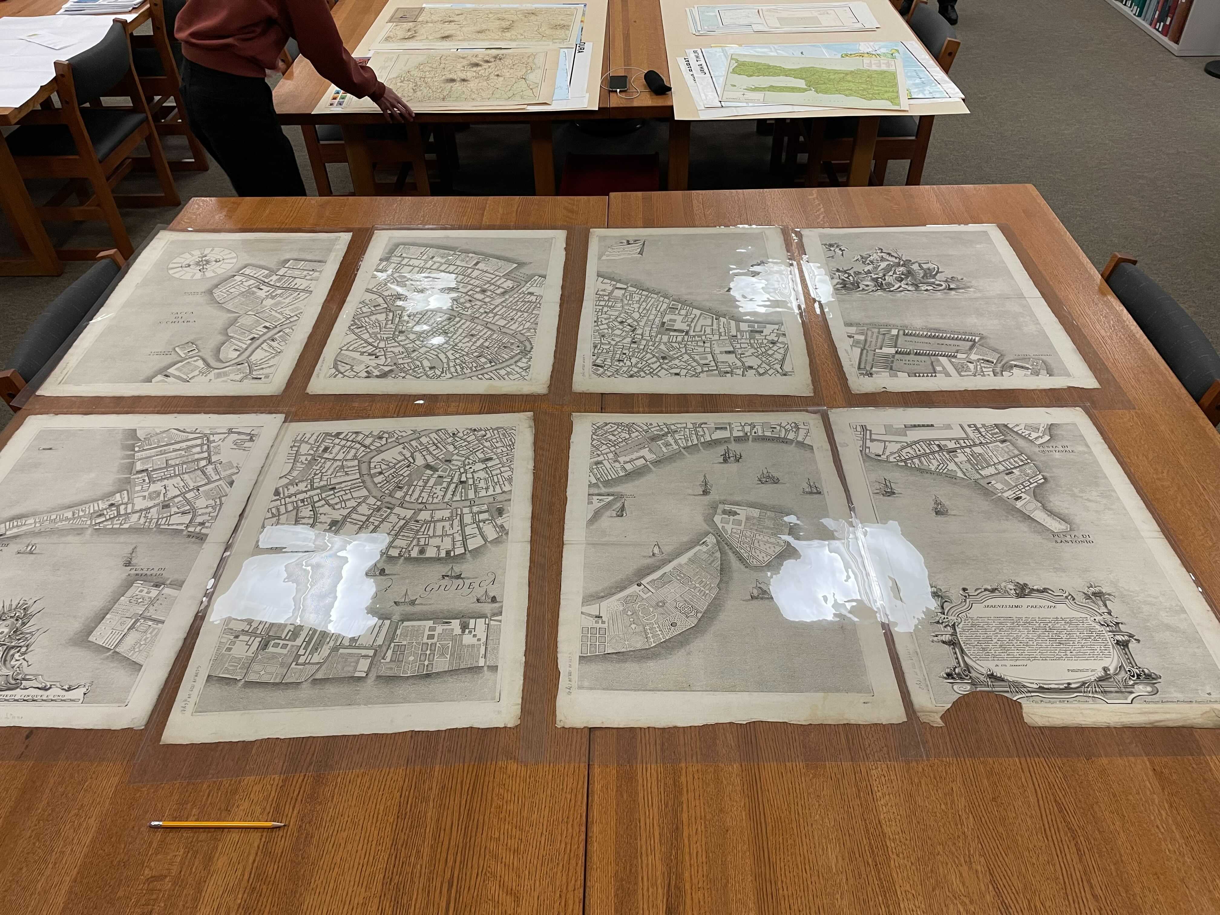
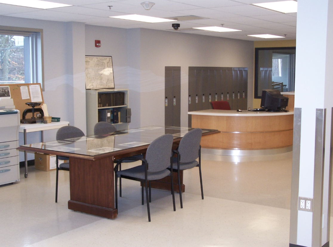 City of Boston Archives Reading Room.
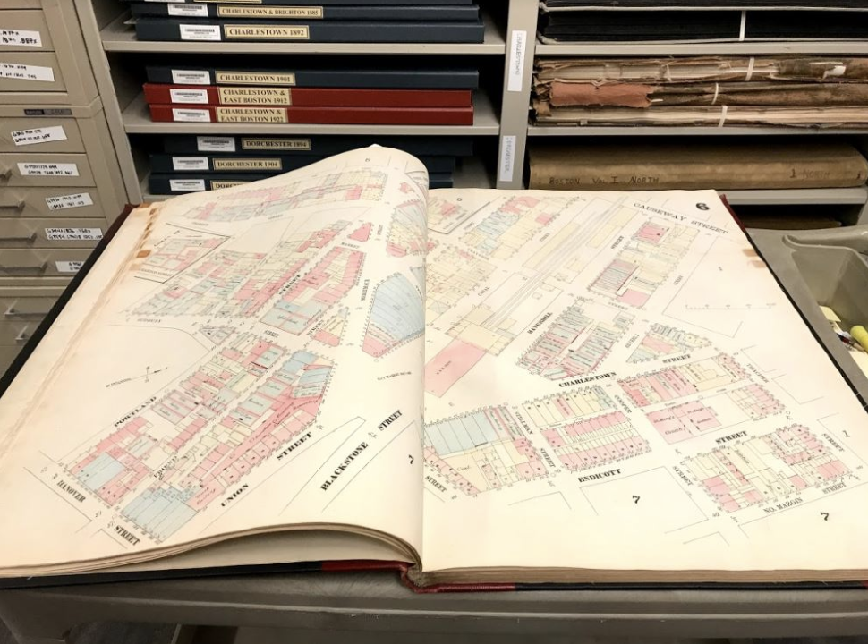 19th century insurance atlas, open to a plate of downtown Boston.
Atlas viewer, Atlascope, a GIS tool from the Boston Public Library.
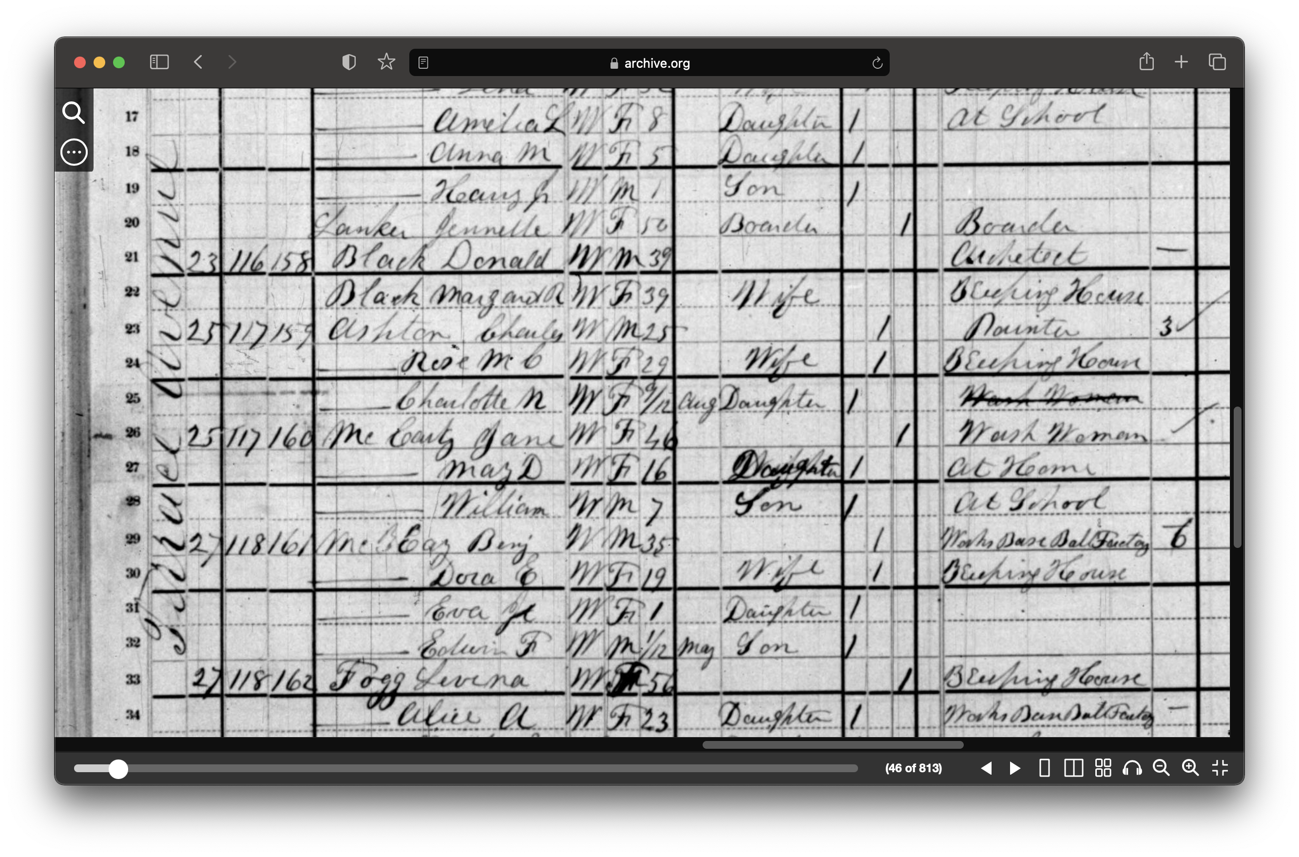 1880 census from Archive.org.
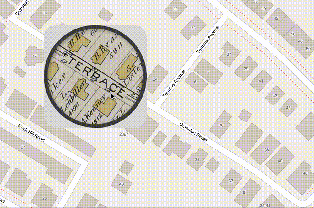 ArcGIS Map comparing 1890 atlas to today.
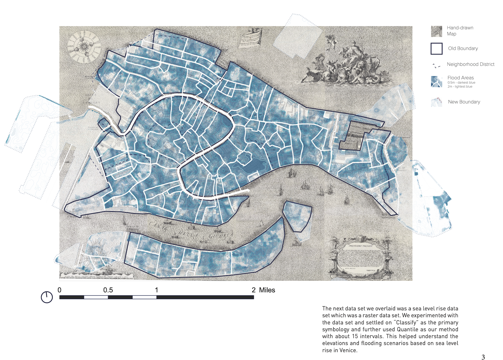 Map created by GSD students Aeshna Prasad, Michael Lidwin, Megan Mcglinchey, and Mehvish Jamal working with the Map Collection.
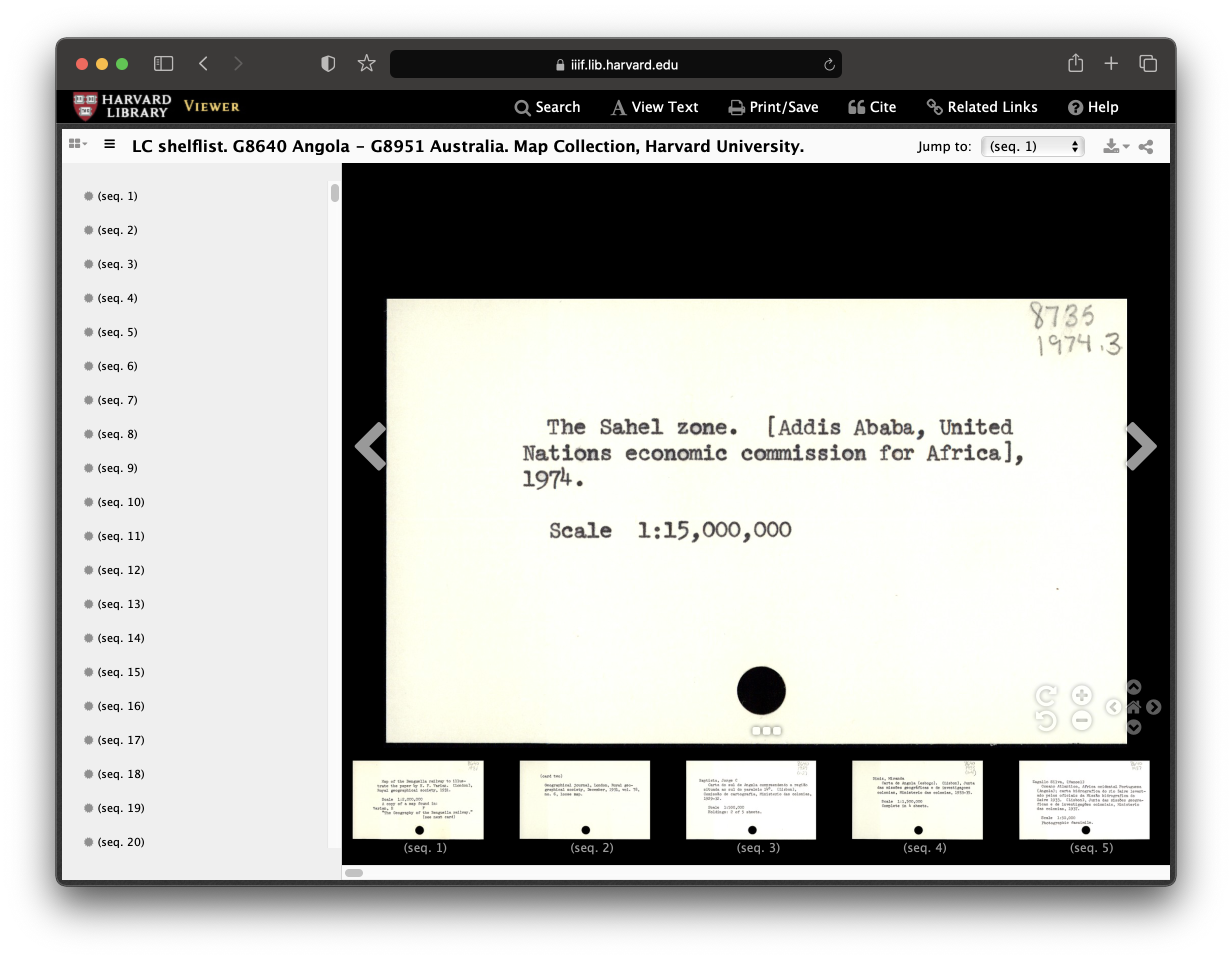 Record from Harvard Map Collection card catalog.