Harvard Map Collection
Services
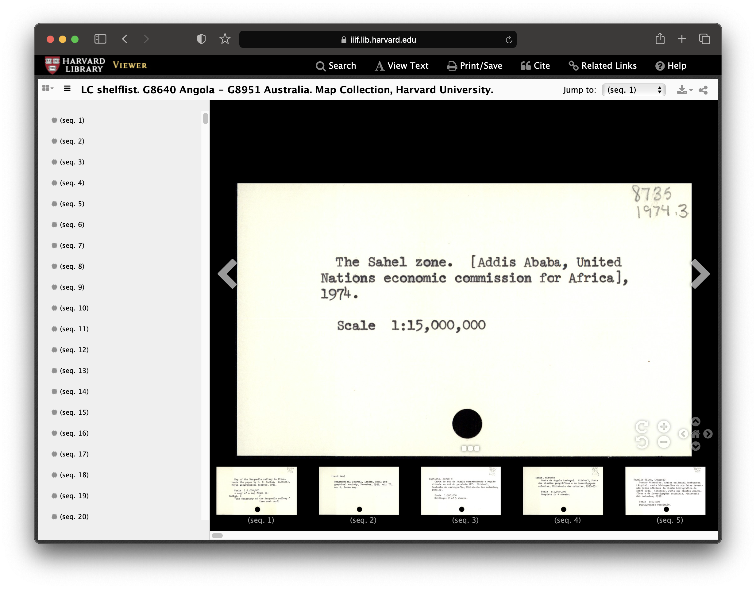 Record from Harvard Map Collection card catalog.
Formats
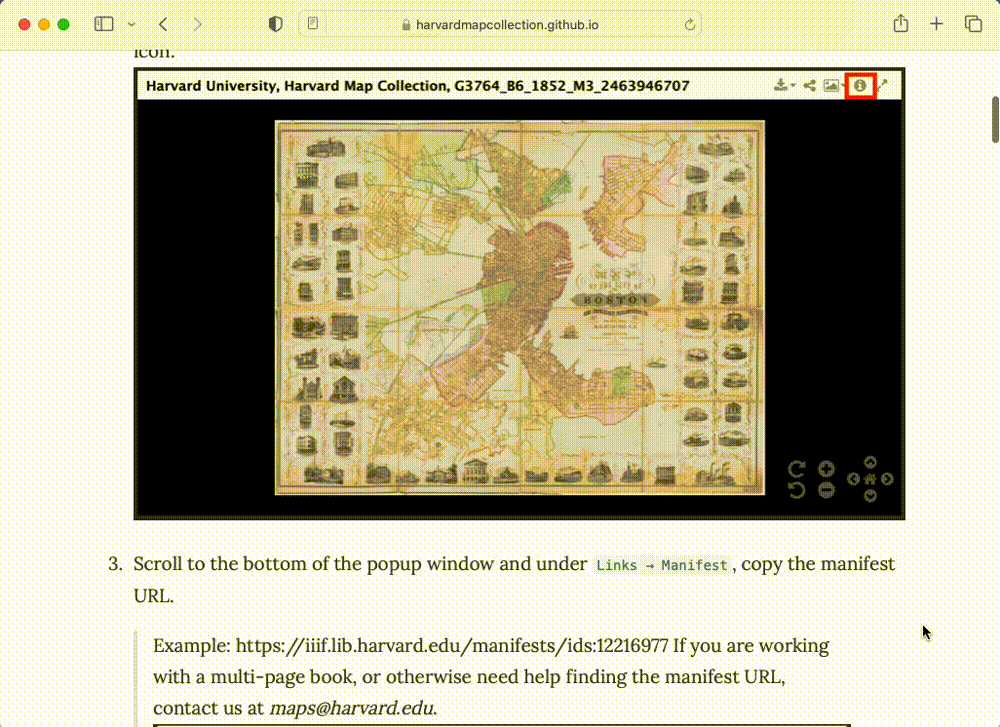 Tutorial for how to use Harvard Libraries digital collections items in Allmaps
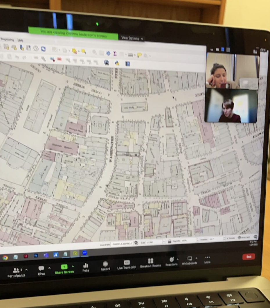 Working with 19th century map layers of Boston.
Concepts
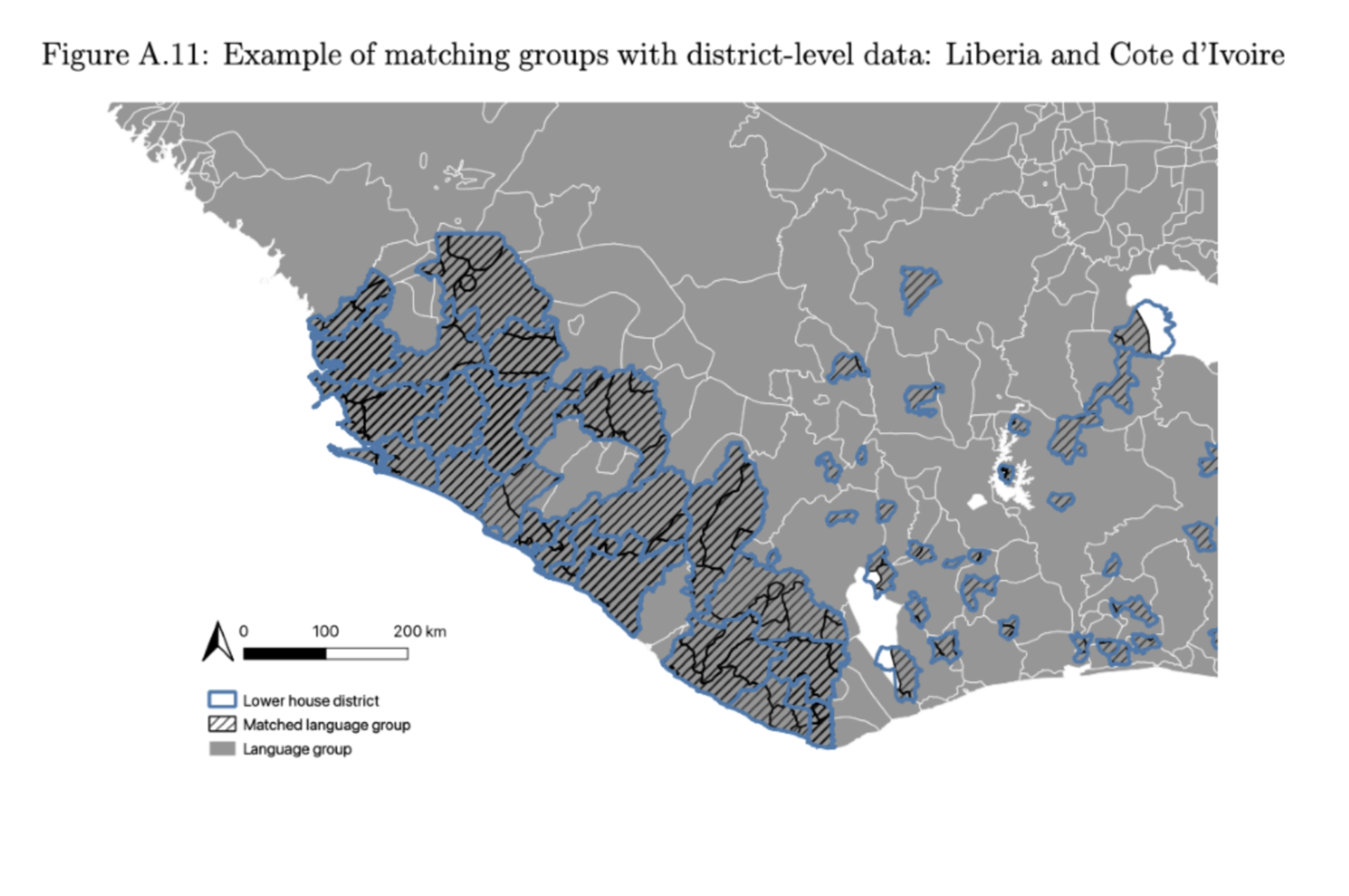
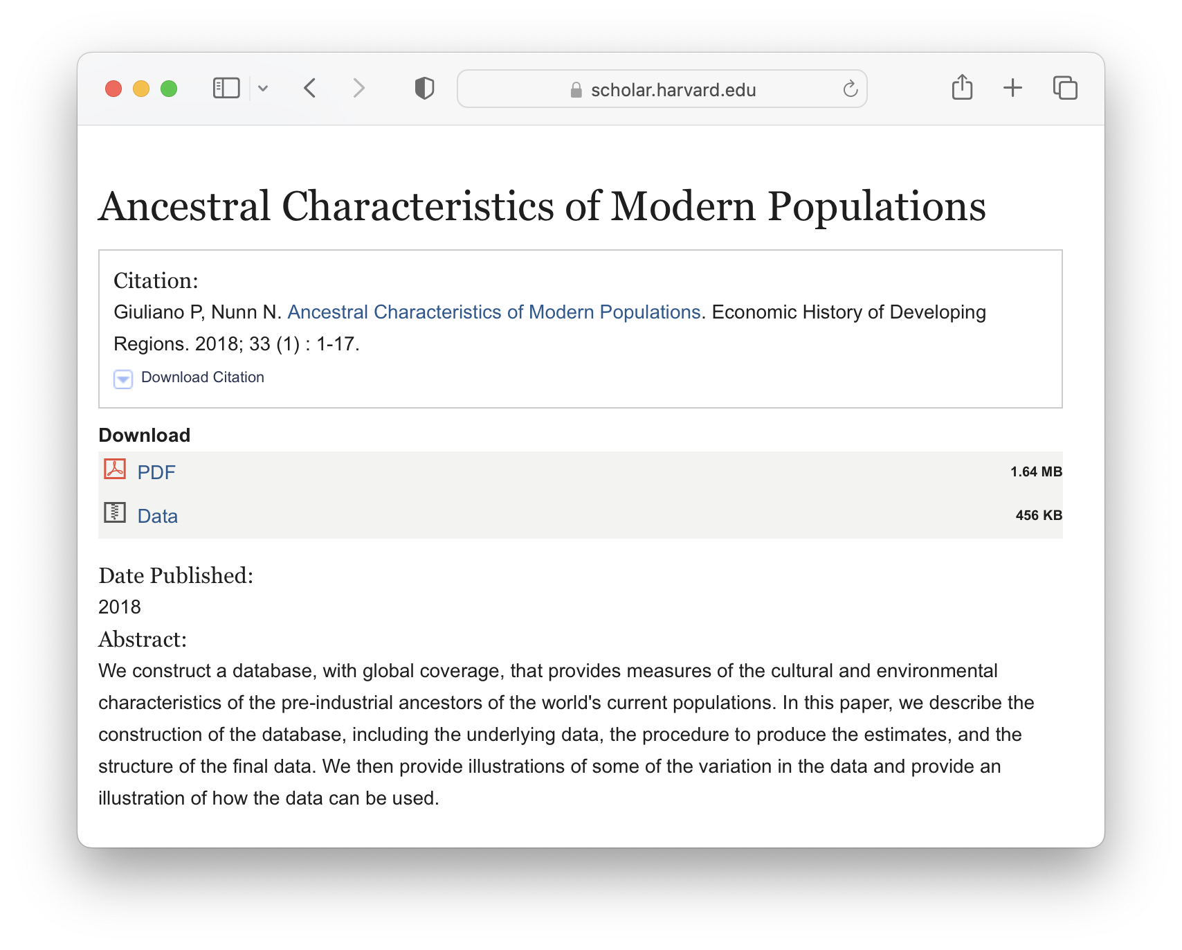 Ancestral characteristics of Modern Populations dataset.
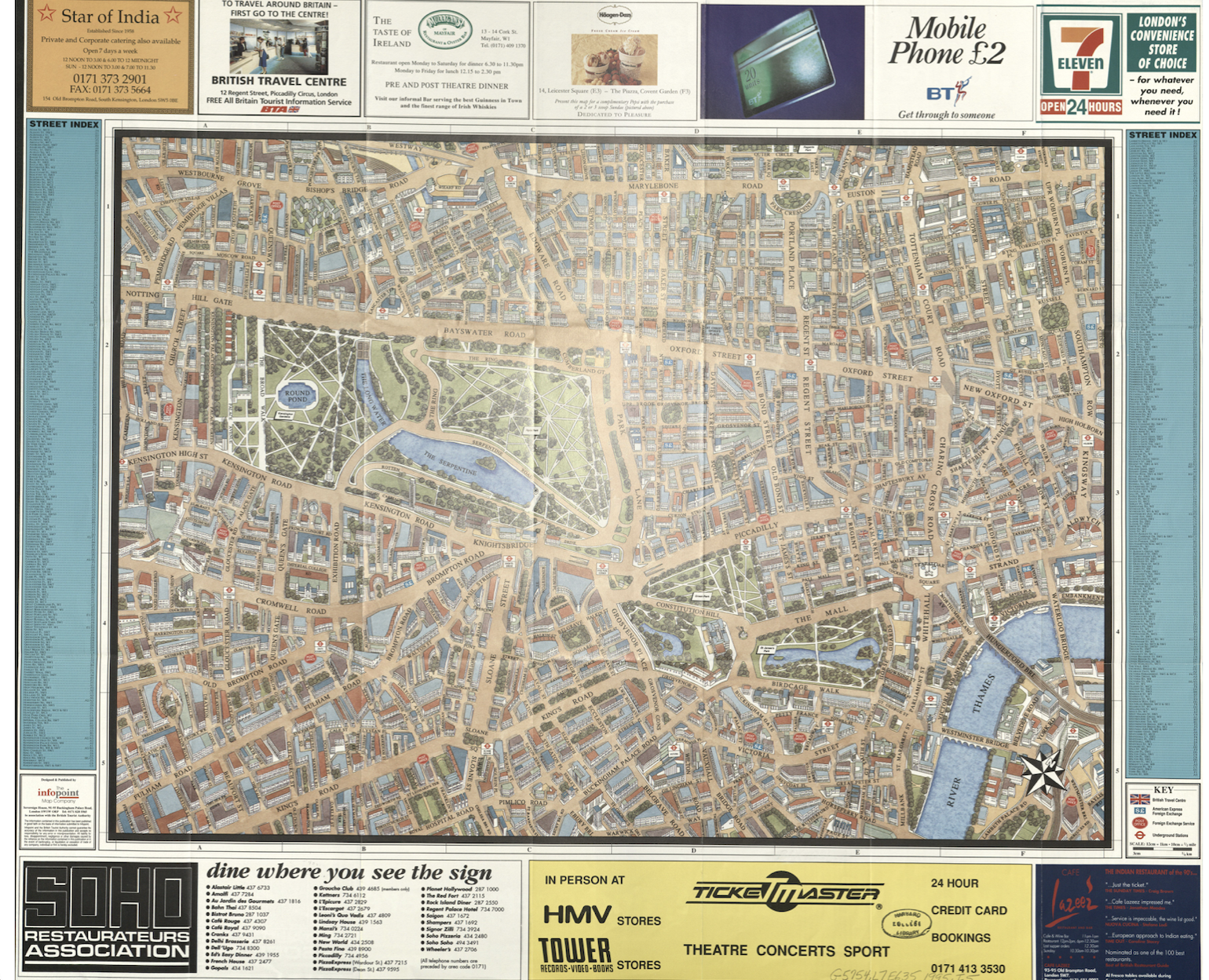
 Map by Leo Saenger, applied mathematics.
Landscape
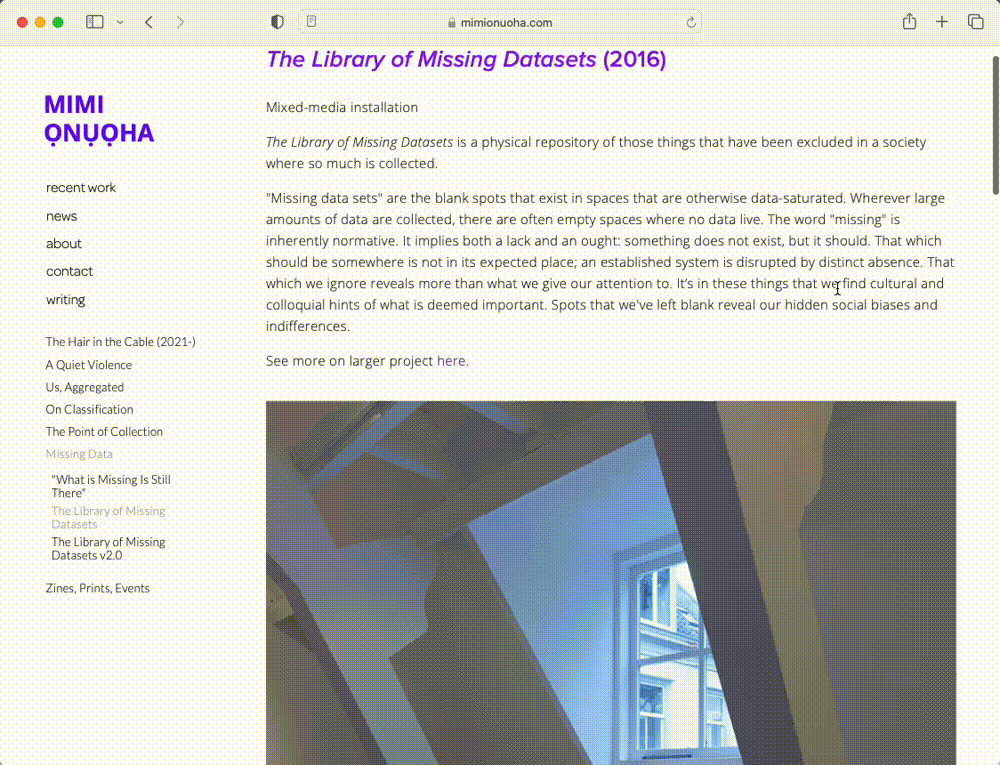 The Library of Missing Datasets by Mimi Ọnụọha.
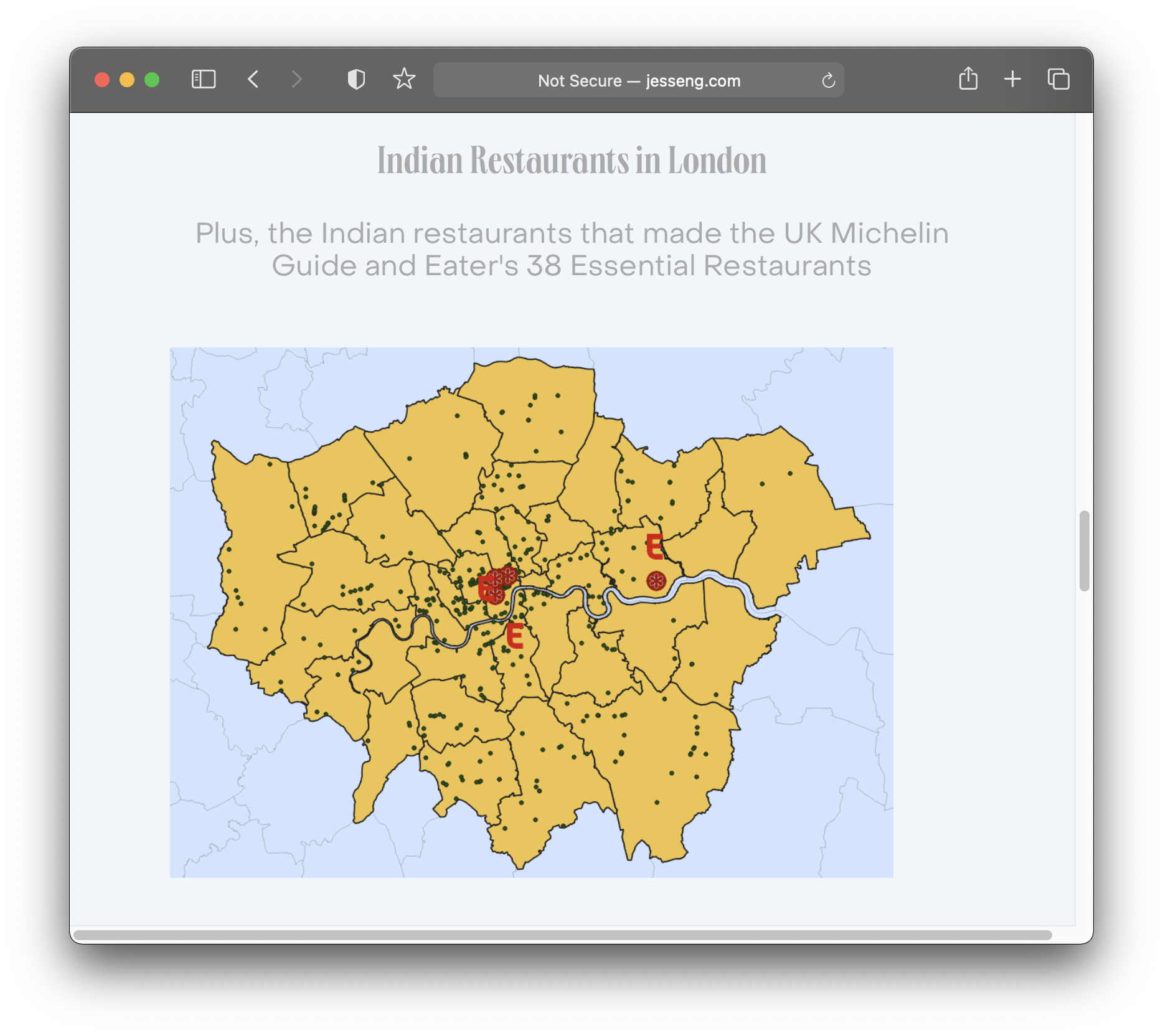
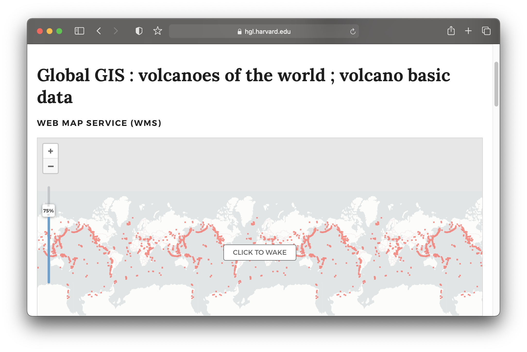 Global volcanoes dataset in the Harvard Geospatial Library (HGL).