Mapping Demographic Data
Do I need geospatial data?
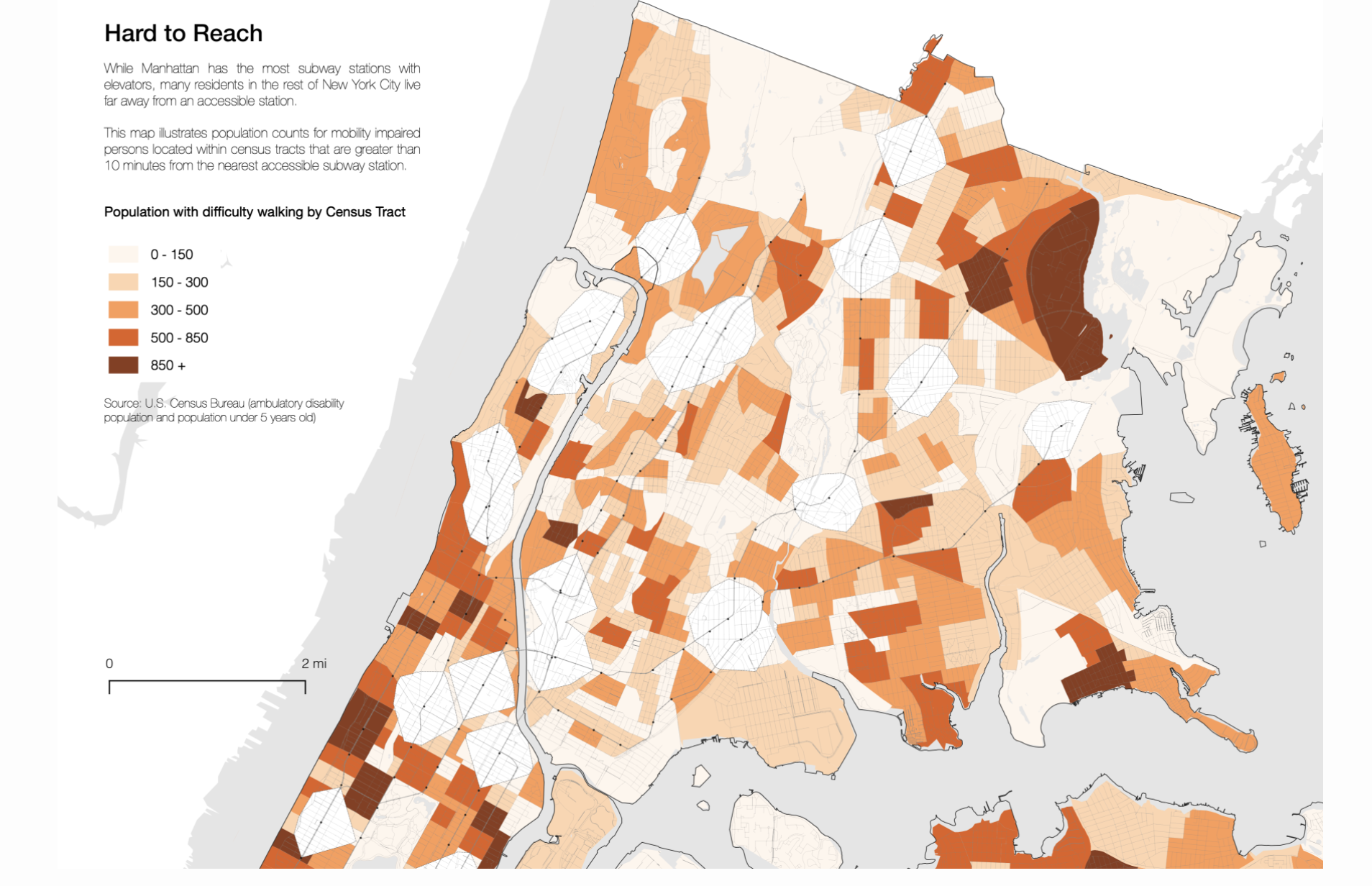 Map created from the PointsUnknown tutorial series, a great way to get started learning how to make maps.
Planning ahead
- Belle Lipton
- GIS Outreach Librarian
- Harvard Map Collection
- belle_lipton@harvard.edu
Getting started in ten minutes activity
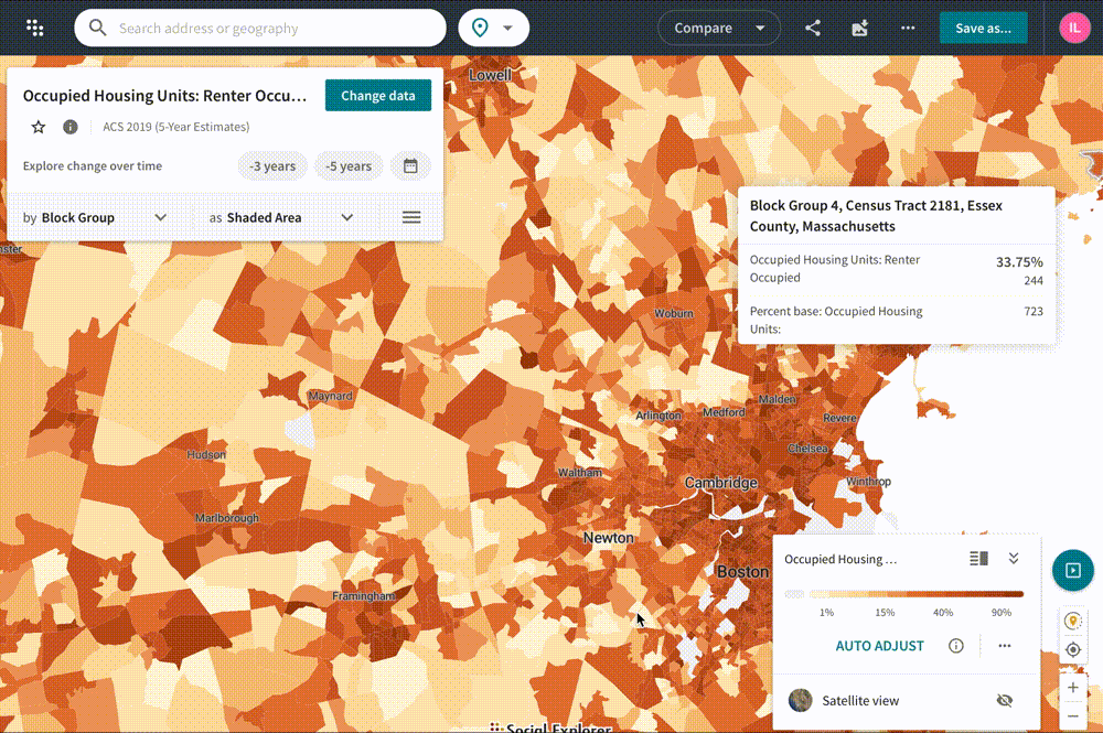
- Set up a Social Explorer account with your Harvard Key by choosing
Create Accountand then log in. - Under
Explore Mapsnavigate to United States and selectExplore. - Change data to
Housing>Tenure>Renter Occupied. - Change the geographic unit from
StatetoCensus Block Groups. - Zoom in to Cambridge, MA and generate an image by clicking the
Export as imagebutton in the upper right-hand corner. - In the left-hand menu, click
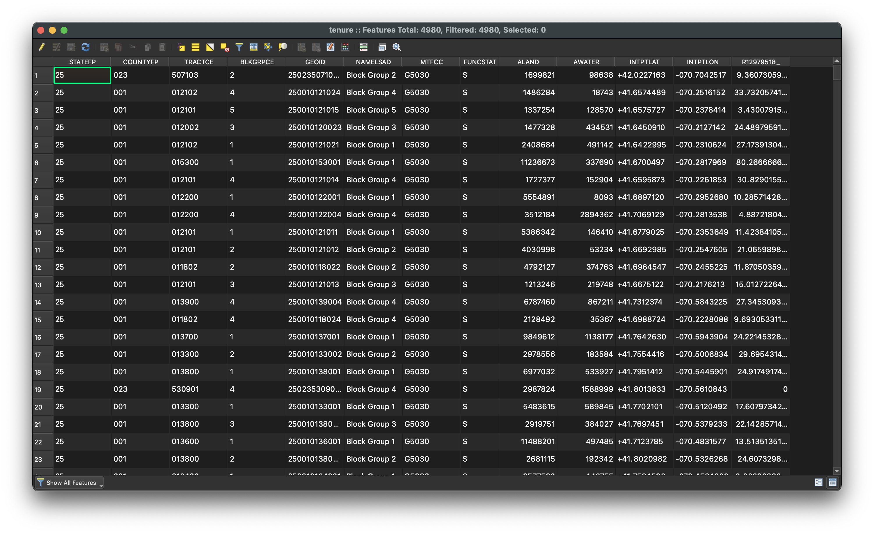
Tables>American Community Surveys (5 year estimates)and under 2015-2019 selectBegin Report. - Try to figure out how you would download the source data you were just looking at in the interactive visualization.
- Now, in order to make a map, you need the shape data. In the left-hand menu, click
Geodata. Which file would you download? - What are your next steps? How would you combine these two datasets together, in order to create a map?
- Next steps:
- This tutorial series demos how to prepare this data for mapmaking.
- For one-on-one project consultations, please email belle_lipton@harvard.edu